An in-depth look into one of the key climate factors that plays directly into the likelihood of an active or inactive hurricane season.
Action Required ■■
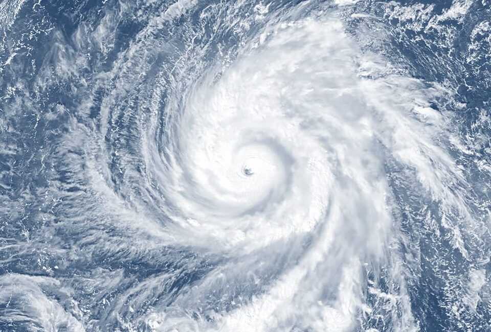
Anyone who closely tracks hurricane season forecasts knows there are a number of key climate factors that play directly into the likelihood of an active or inactive season. Forecasters use these signals to project activity levels well before the season kicks off. The most predictable of these factors relate to known variations in ocean temperatures for which forecasters have established a direct link to tropical activity.
Firstly, it’s well known that the tropics are more active when sea surface temperatures (SSTs) are warmer than normal in the tropical latitudes, (also known as the Main Development Region or MDR), where hurricanes draw from that heat to develop, organize and intensify. The second key factor is the temperature of the Pacific Ocean – not because hurricanes benefit directly from the Pacific’s heat energy – but rather because Pacific SSTs are part of a known climate oscillation called ENSO (El Nino Southern Oscillation). When ENSO is in its “warm” El Nino phase, it causes higher wind shear in the Atlantic, which is detrimental to hurricane development, and vice- versa, the La Nina phase of ENSO leads to reduced shear and elevated activity.
Thus, Pacific SSTs, while remote, are ‘teleconnected’ to seasonal hurricane activity in the Atlantic.
These variations in ocean sea surface temperatures take place over enormous expanses of the ocean and persist for months and sometimes years, which is why they are relatively dependable predictors of Atlantic activity in advance of a hurricane season. Tropical outlooks published months in advance are notoriously imprecise, however, because there are many other weather and climate elements at play when the actual hurricane season unfolds. For example, while the Atlantic as a whole may be warmer than average, an individual hurricane may not pass over these pockets of elevated SSTs (known as ‘eddies’) and thus may not access the surplus energy from elevated SSTs.
The Loop Current: A Locally Important Factor
The Loop Current (LC) is an Atlantic Ocean current that transports warm Caribbean water through the Yucatan Channel between Cuba and Mexico (see Figure 1). The current flows northward into the Gulf of Mexico, then loops southeastward just south of the Florida Keys where it is called the Florida Current, then just west of the Bahamas. The LC ultimately flows northward along the U.S. coast and becomes embedded in the Gulf Stream. With current speeds of nearly 1 meter per second, the LC is one of the swiftest in the Atlantic Ocean. The current is two to three hundred kilometers (125-190 miles) wide, eight hundred meters (2,600 feet) deep, and is present in the Gulf of Mexico about 95% of the time. In addition, during the summer and early autumn, the current’s 100-meter top ‘warmest’ layer provides a deep reservoir of energy for any hurricanes that incidentally cross its path.

Figure 1 – The Loop Current (LC) flows north into the Gulf of Mexico. Every six to eleven months on average, a bulge in the LC cuts off into a clockwise-rotating ‘warm eddy’ that tends to drifts slowly to the west and southwest towards Texas. (Source: NOAA)
Periodically the LC bulges into the northeastern Gulf of Mexico, sometimes shedding a clockwise rotating ring of warm water that separates from the LC’s main branch (see Figure 1, Step 2). This ring of warm water slowly drifts WSW towards Texas and the Mexico border at about 3 to 5 kilometers each day. This feature – called a “Loop Current Eddy Vortex” or “Warm Core Ring” – provides a key source of heat and moisture to fuel the rapid intensification of hurricanes that cross from the open Atlantic into the Gulf, in addition to the local warmth of the LC itself.

Figure 2 – The Loop Current (LC) in August and September 2005 played a direct role in the intensification and eventual risk of loss at landfall in both Hurricane Katrina (left) and Hurricane Rita (right). Both storms tracked directly over the Loop Current’s west branch as well as a loop current eddy (LCE) vortex that broke off and travelled from the central Gulf where Katrina passed over (left) towards the coast of Texas three weeks later where Rita passed over. Both Katrina and Rita experienced rapid intensification to Saffir-Simpson Category 5 strength.
The LC pulsates in a quasi-periodic fashion and sheds LC eddies every 6 to 11 months. When an LC eddy breaks off into the Gulf at the height of hurricane season, it can elevate the risk of loss considerably since energy is made available to any passing storm. This situation occurred in 2005, when an eddy broke off in late July, just prior to Hurricane Katrina passing. Katrina went through a development cycle known as Rapid Intensification, developing further into a rare and dangerous CAT5 hurricane, later making landfall as a CAT3. The LC eddy that spiked Katrina’s strength remained in the Gulf and slowly drifted west during September. In fact, Hurricane Rita passed over the same LCE Vortex just three weeks after Katrina, causing another rapid deepening of Rita into a CAT5 event, also making landfall as a CAT3.
What Does the Latest Research Say?
Predicting how and when the LC and its eddy- shedding process develop is critical to hurricane forecasts, but also has important implications to for the Gulf ecosystem, including sustaining the coral reefs, managing pollution, and oil drilling operations. As a result, scientists have used numerical models (see Aeolus’ Climate Change Research Series Part I: Introduction) to better understand the LC and predict its seasonal evolution. A recent study concluded that in order to predict growth of the Gulf branch of the LC and, more importantly, its eddy- shedding process, one must include the conditions of the Atlantic outside the Gulf (in the Caribbean region) where the LC’s eastern branch and the Gulf Stream operates.
Our study stresses how ocean processes from one basin influence ocean processes in a neighboring basin. You cannot accurately predict what will happen in the Gulf of Mexico if you ignore the processes taking place in the Caribbean Sea…

Figure 3 – Scientists have found that the Loop Current is best modeled for individual storms by accounting for local and remote Atlantic SSTs. The same holds true on a larger time scale (seasonal forecasts) and spatial scale (ocean basin SSTs) as both local Atlantic and remote Pacific SSTs influence Atlantic hurricane seasons. These local-to-remote climate relationships are called ‘teleconnections’.
So, as both Atlantic and Pacific Ocean temperatures influence the Atlantic hurricane season as a whole, we also see that individual hurricanes entering the Gulf of Mexico are influenced by the LC and its local eddies, and to properly account for the LC, one must also consider its branch located well outside the Gulf. While operating on much different scales, both concepts remind us that the earth’s atmosphere-ocean-land system is interconnected and modeling technology can unveil the connections that matter most to life and property.
Conclusion
The Loop Current is a key factor in U.S. hurricane risk and can lead to significant shifts in risk for the Gulf region from one season to the next. What we don’t know prior to the season is how, where and when, individual hurricanes will develop and, more importantly, whether hurricanes threatening landfall will benefit from locally warm ocean eddies that are collocated with a hurricane that needs fuel to intensify.
Whilst today it is not possible to predict the exact influence of the LC on individual hurricanes more than a few days in advance, scientific understanding, combined with more data and better models, are making useful LC forecasts possible. Further, new technologies such as AI/ML (Artificial Intelligence / Machine Learning) are being applied to issues in climate risk – including ocean dynamics and energetics – which will improve our understanding of the LC in the short-term (to improve hurricane forecasts) and the longer-term (to improve hurricane season outlooks).
Implications for Aeolus
While catastrophe models capture the full spectrum of hurricane intensity and geography at landfall, they are not designed to predict how climate factors modulate the risk from one season to the next. These include global-scale factors like ENSO (El Nino Southern Oscillation) and local factors like the Loop Current. Aeolus Research is actively focused on how such factors can tilt hurricane risk on scales spanning short-term weather and individual storms to longer-term climate and seasonal activity. ARTIS (Aeolus Real-Time Information Service) launched in 2021 to provide real-time hurricane risk assessment including expert commentary on key aspects of the Atlantic hurricane season as it unfolds, including effects of the Loop Current. In addition, Aeolus Research engages with the catastrophe modeling firms to understand how material components of the risk are explicitly or implicitly captured by the models in order to prioritize model adjustments. Since the Loop Current has implications on both weather and climate timescales, Aeolus Research will continue to follow scientific developments and incorporate findings in its proprietary approach to quantifying hurricane risk.
Reference
Le Hénaff, M., V.H. Kourafalou, Y. Androulidakis, N. Ntaganou, and H.-S. Kang, 2023: Influence of the Caribbean Sea eddy field on Loop Current predictions. Frontiers in Marine Science, 10:1129402.
DISCLAIMER
THE INFORMATION CONTAINED IN THIS PAPER (THE “INFORMATION”) IS BEING FURNISHED TO RECIPIENTS ON A CONFIDENTIAL BASIS BY AEOLUS CAPITAL MANAGEMENT LTD. (“AEOLUS”) FOR DISCUSSION PURPOSES ONLY AND MAY NOT BE USED FOR ANY OTHER PURPOSE. THIS INFORMATION MAY NOT BE COPIED, RECORDED OR REPRODUCED OR OTHERWISE PROVIDED TO THIRD PARTIES IN WHOLE OR IN PART WITHOUT AEOLUS’ PRIOR WRITTEN CONSENT.
THIS PAPER CONTAINS INFORMATION REGARDING AEOLUS AND ITS AFFILIATES’ VIEWS ON VARIOUS UNCERTAIN SCIENTIFIC CONCEPTS AND CONTENT. RECIPIENTS AND THEIR ADVISORS SHOULD PERFORM THEIR OWN INDEPENDENT REVIEW WITH RESPECT TO SUCH MATTERS AND REACH THEIR OWN INDEPENDENT CONCLUSIONS.
WHILE EFFORT AND CARE HAS BEEN TAKEN IN PREPARING THE CONTENT OF THIS PAPER, AEOLUS AND THE AUTHORS DISCLAIM ALL WARRANTIES, EXPRESSED OR IMPLIED, AS TO THE ACCURACY OF THE INFORMATION SET OUT HEREIN. FURTHER, NEITHER AEOLUS NOR THE AUTHORS SHALL BE LIABLE FOR ANY LOSSES OR DAMAGES ARISING FROM THE USE OF, OR RELIANCE ON THE INFORMATION OR THE REFERENCES SET OUT HEREIN.
PORTIONS OF THE INFORMATION HAVE BEEN OBTAINED FROM THIRD PARTY SOURCES. WHILE SUCH INFORMATION IS BELIEVED TO BE RELIABLE BY AEOLUS AND THE AUTHORS, NO EXPRESS OR IMPLIED WARRANTY, REPRESENTATION OR GUARANTEE IS MADE AS TO THE CORRECTNESS, COMPLETENESS OR SUFFICIENCY OF SUCH THIRD PARTY INFORMATION. WHERE A THIRD PARTY RESOURCE HAS BEEN REFERENCED, AEOLUS SEEKS TO ACCURATELY CITE SUCH RESOURCE. NO CONTENT WITHIN THIS PAPER IS KNOWINGLY AN INFRINGEMENT OF COPYRIGHT. ANY POTENTIAL INFRINGEMENT CAN BE IMMEDIATELY ADDRESSED AND WHERE APPROPRIATE RECTIFIED, ON NOTIFICATION TO AEOLUS.
THIS PAPER CONTAINS THE CURRENT OPINIONS OF AEOLUS AND SUCH OPINIONS ARE SUBJECT TO CHANGE WITHOUT NOTICE. AEOLUS TAKES NO RESPONSIBILITY FOR UPDATING THE INFORMATION CONTAINED HEREIN AS FACTS OR AEOLUS’ VIEWS DEVELOP IN FUTURE. STATEMENTS IN THIS PAPER ARE MADE AS OF THE DATE OF THE INITIAL COMMUNICATION AND THERE SHALL BE NO IMPLICATION THAT THE INFORMATION IS CORRECT AS OF ANY TIME SUBSEQUENT TO SUCH DATE.
THE INFORMATION CONTAINED IN THIS PAPER IS NON-PUBLIC, CONFIDENTIAL AND PROPRIETARY IN NATURE. BY YOUR ACCEPTANCE OF THIS PAPER, YOU AGREE TO TREAT THE CONTENTS AS CONFIDENTIAL AND NOT TO USE IT IN ANY WAY DIRECTLY OR INDIRECTLY DETRIMENTAL TO AEOLUS.